Stacked Fronts, Soaked Air, Strong Shear Put NYC At Saturday Tornado Risk
Stacked Fronts, Soaked Air, Strong Shear Put NYC At Saturday Tornado Risk
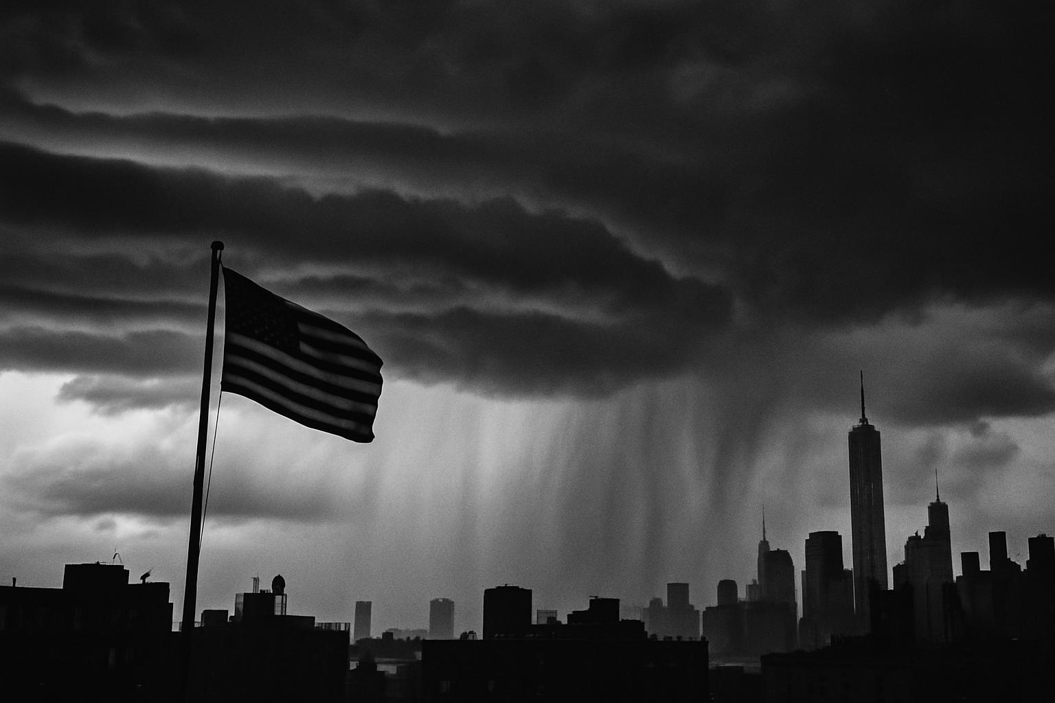
A warm front, a pre-frontal trough, and a nighttime cold front line up over saturated air and strong shear on Saturday, bringing several storm rounds to the NYC area, a damaging wind threat, an isolated tornado risk, and a Flood Watch for NE New Jersey, NYC, and southern Westchester.
 June CallowayFeatures Writer
New York wakes to a sky running a three-shift job. A warm front lifts first, a pre-frontal trough sharpens the afternoon, and a cold front presses in at night. Stack them, and you trade one booming squall for several chances. Each wave can pull from the same loaded air, so the risk rises with repetition.
That air is soaked. Forecasters at NWS Upton note precipitable water near 2 to 2.25 inches, well above a typical mid summer day. In plain life, that means a storm does not need to sit to flood a block. A quick burst can drop one and a half to two inches in an hour, and city drains lose the race if storms train. On Friday, NWS Upton issued a Flood Watch for northeast New Jersey, New York City, and southern Westchester for Saturday into Saturday night. See the Area Forecast Discussion for details at https://forecast.weather.gov/product.php?site=OKX&issuedby=OKX&product=AFD.
Wind structure tips the scales. The Storm Prediction Center flags effective shear near 35 to 45 knots and favorable low level helicity across parts of the Mid Atlantic and Northeast. Shear organizes storms into clusters or even a stray supercell. Add the kinks near those fronts, and a brief tornado becomes possible. The SPC has parts of the region in a Day 2 Enhanced Risk for Saturday, with damaging winds the main hazard and an isolated tornado possible. The outlook is posted at https://www.spc.noaa.gov/products/outlook/day2otlk.html.
Confidence has seams. Morning convection and lingering smoke could limit heating and instability, which would shuffle the corridor that lights up later. The takeaway is not a precise hour. It is a setup primed for several rounds and fast changes.
Beach plans need a pause. NWS highlights a high rip current risk along ocean beaches and Small Craft Advisories on Saturday. On land and sea alike, the environment is loaded, and the traffic lights are green.